Advanced aerial imaging with drones
Our Services
Customers

About Us
GeoDrones supplies cost-effective and high-quality services for aerial photography/cinematography, precision agriculture, remote sensing and mapping. We’re employing state-of-the-art equipment that enables us to meet or exceed our most demanding customer’s needs.
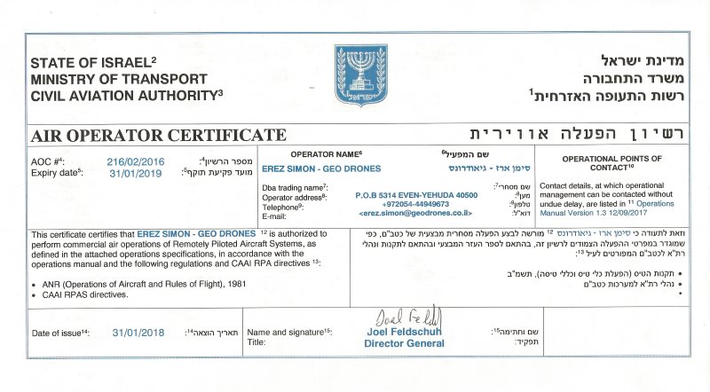
Our company is licensed and certified by the Civil Aviation Authority of Israel to conduct commercial UAV operations. Our remote pilots have years of experience and are fully certified & insured.


Contact Us

 English
  עברית
עברית